
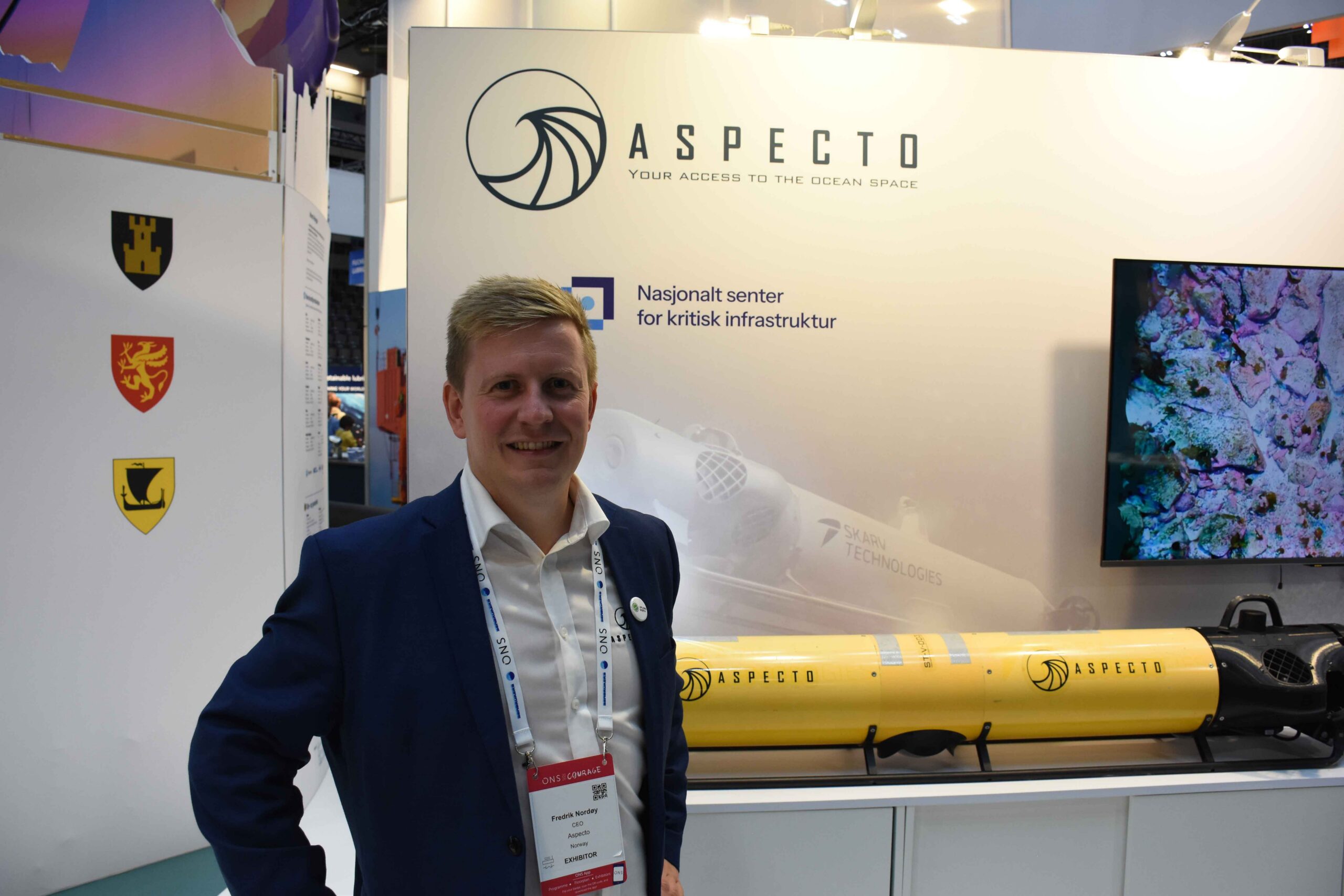
What does the seafloor actually look like along the Norwegian coast? Aspekto aims to help find that out using an autonomous underwater vehicle capable of operating at depths of up to 600 meters.
At ONS, Aspecto’s CEO, Fredrik Nordøy, explained how the company combines Norwegian technology from Trondheim-based Skarv Technologies with marine expertise to map natural resources beneath the sea surface.
The vehicle travels about two meters above the seafloor and continuously takes images as it follows preprogrammed routes. In a single day, it can map between 50 and 60 mål of seafloor.
“We’re gathering information about what’s actually beneath the ocean’s surface. This provides a better basis for decisions regarding the use and protection of marine areas,” says Nordøy.
Among other things, the data is used to identify vulnerable natural areas in connection with new aquaculture permit applications. The information also contributes to coastal zone planning, the documentation of coral reefs, and the recording of lost fishing gear.
The goal is to provide municipalities, the business community, and government agencies with more knowledge about the ocean, so that decisions can be based on facts rather than assumptions.